Page banner

ABOUT US

Who we are

Welcome to Geotech.

Page banner

ABOUT US

Who we are

Welcome to Geotech.

Page banner

ABOUT US

Who we are

Welcome to Geotech.

Complete solutions for everything you need.

Complete solutions for everything you need.

The company's purpose is the preparation of studies and the application of cutting-edge technologies in the fields of geodesy, topography, cartography, and hydrography. We specialize in GIS systems, digital image processing, as well as data collection through 3D scanning.

The purpose of the company is the preparation of studies and the application of cutting-edge technologies in the fields of geodesy, topography, cartography, and hydrography.

We specialize in GIS systems, digital image processing, as well as data collection through three-dimensional scanning (3D scanning).

1991

Year of Establishment

35+

Years of Experience

75+

Completed Projects

Our Goal

We are committed to providing comprehensive solutions, with our primary concern being the complete satisfaction of our customers.

Our Philosophy

Our philosophy is based on quality and reliability, building long-term relationships of trust that make a difference.

Our Goal

We are committed to providing comprehensive solutions, with our primary concern being the complete satisfaction of our customers.

Our Philosophy

Our philosophy is based on quality and reliability, building long-term relationships of trust that make a difference.

Our Goal

We are committed to providing comprehensive solutions, with our primary concern being the complete satisfaction of our customers.

Our Philosophy

Our philosophy is based on quality and reliability, building long-term relationships of trust that make a difference.

Research vessel working at sea

Our Journey So Far

Our Journey So Far

From our founding to this day, we continue with steady steps to evolve and create value.

From our founding to this day, we continue with steady steps to evolve and create value.

01

1991

The Starting Point and the Vision

Our journey began in February 1991 with the founding of "Ch. Liapakis - V. Balis Consulting Engineers O.E." (Geotech). Initially based in Dafni and later in Zografou, the company was dynamically active in the surveying sector, laying the foundations from the outset for a steadily upward trajectory.

Field engineer

02

2009

Partnership & Marine Studies

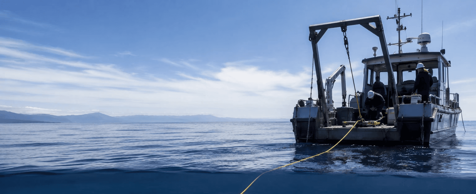
We are dynamically expanding our operations in hydrographic surveying. Through a strategic partnership with a geo-diving marine company, we secure the permanent availability of the research vessel "Orion", enhancing the speed and accuracy of our marine studies.

Research vessel at sea

03

2018

Digital Transformation & Cutting-Edge Technology

Since 2018, we have been investing massively in next-generation technological equipment. By integrating advanced 3D scanning systems, drones (UAVs), and modern geodetic instruments, we steadily digitize our processes and offer top-tier precision in geospatial data management.


Field Engineer

04

Today

We Continue with Vision

Today, Geotech is among the most reliable partners in the field of engineering consulting and geospatial applications. With a specialized team, it provides comprehensive solutions ranging from cadastral surveys to modern digital mapping, ensuring reliability and quality for every project.

Company Offices

Quality, Health, Safety and Sustainability

Quality, Health, Safety and Sustainability

We apply internationally recognized ISO standards, ensuring quality, consistency, and reliability in every project.

We apply internationally recognized ISO standards, ensuring quality, consistency, and reliability in every project.

Quality

At Geotech, quality translates to absolute precision. With top-tier scientific expertise and cutting-edge equipment, we guarantee reliable results in every project and study we are called upon to complete.

Health and Safety

For us, health and safety are a non-negotiable priority. We apply strict standards and invest in prevention, ensuring a safe working environment for our staff and partners.

Sustainability

At Geotech, sustainability is a core principle of every project we undertake. We implement modern practices that reduce our environmental footprint, promoting the responsible management of natural resources and sustainable development.

Quality

At Geotech, quality translates to absolute precision. With top-tier scientific expertise and cutting-edge equipment, we guarantee reliable results in every project and study we are called upon to complete.

Sustainability

At Geotech, sustainability is a core principle of every project we undertake. We implement modern practices that reduce our environmental footprint, promoting the responsible management of natural resources and sustainable development.

Health and Safety

For us, health and safety are a non-negotiable priority. We apply strict standards and invest in prevention, ensuring a safe working environment for our staff and partners.

Quality

At Geotech, quality translates to absolute precision. With top-tier scientific expertise and cutting-edge equipment, we guarantee reliable results in every project and study we are called upon to complete.

Health and Safety

For us, health and safety are a non-negotiable priority. We apply strict standards and invest in prevention, ensuring a safe working environment for our staff and partners.

Sustainability

At Geotech, sustainability is a core principle of every project we undertake. We implement modern practices that reduce our environmental footprint, promoting the responsible management of natural resources and sustainable development.

Are you planning your next big project?

At Geotech, we convert field data into valid, high-resolution digital basemaps.

Contact us today and let's work together for a result of absolute precision.

Contact us today!

Are you planning your next big project?

At Geotech, we convert field data into valid, high-resolution digital basemaps.

Contact us today and let's work together for a result of absolute accuracy.

Contact us today!

Are you planning your next big project?

At Geotech, we convert field data into valid, high-resolution digital basemaps.

Contact us today and let's work together for a result of absolute accuracy.

Contact us today!

↑